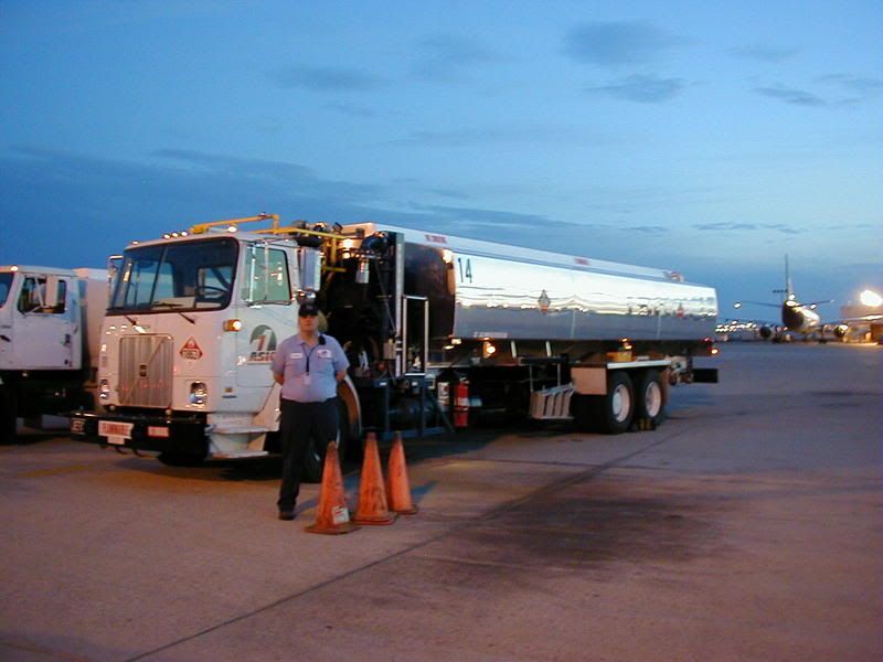
Heres one I found - eye level is 1500 feet AMSL - altitude here is 1000 AGL
and the nearest airport is 20 miles away = found it checking out my favorite sopt on Lake Allatoona just north of Atlanta - the area is still very isolated
so my question is - the Cessna flying or down????
The aircraft flying aren't rendered in 3D. That aircraft could be at 100 feet (AGL) or 10000 feet (AGL) and it'll look the same in that satellite photo since it's not stereoscopic, and thus there is no true way to determine actual height.
Ill get the lat/Lon for it - Its north of the 51 restricted area - and east of
the Silverbow (Tonapah) facility it lies on the south end of a dry lake bed complete with AAA and SAM sites marked out.
a few months ago i looked at Basra, and shaibah, both little haunts i frequented whilst in the delightful little place call iraq,
when i looked at them they were farly recent shots.... tents etc errected by coalition forces, now, nothing no zip, diddly squat, the pictures are now pre-war no 2,
any ideas how they work this, as i thought they would have put up recent shots as oppose to old!!
I've just noticed some thing, you can get lower down say at New York without too much blurredness than you can for Lincoln UK........Why is this? :think:
I used to be an optimist but with age I am now a grumpy old pessimist.
It's all to do with the resolution of the shots Nigel. One could say that NY is a little more interesting that Lincolnshire.. not that I would of course Some areas are shot at a much higher magnification allowing that much more detail


 Some areas are shot at a much higher magnification allowing that much more detail