Back again. Getting side-tracked slightly with FSET. As you can see I'm getting there. I have a question though, about how best to exclude shorelines. I've used QMID11 to exclude all terrain items in the area and then extended the Hydro poly so that the water is where it should be (except for the odd mistake with the water mask). Whats the best way to exclude shorelines over a large area...
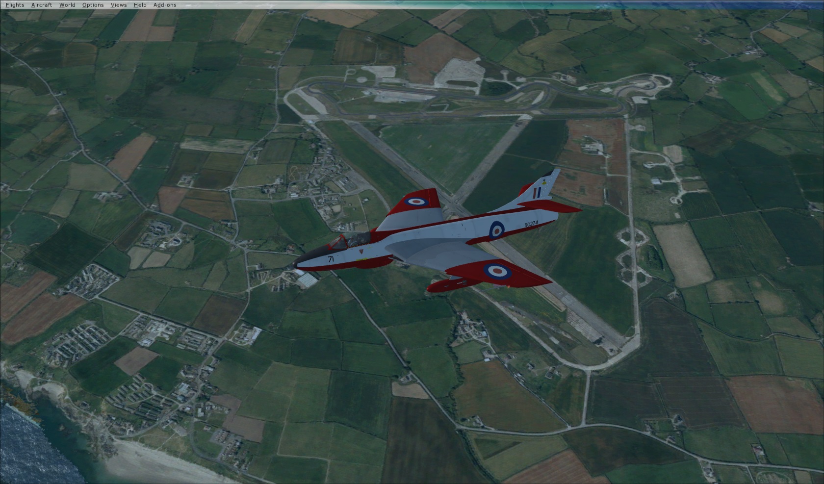
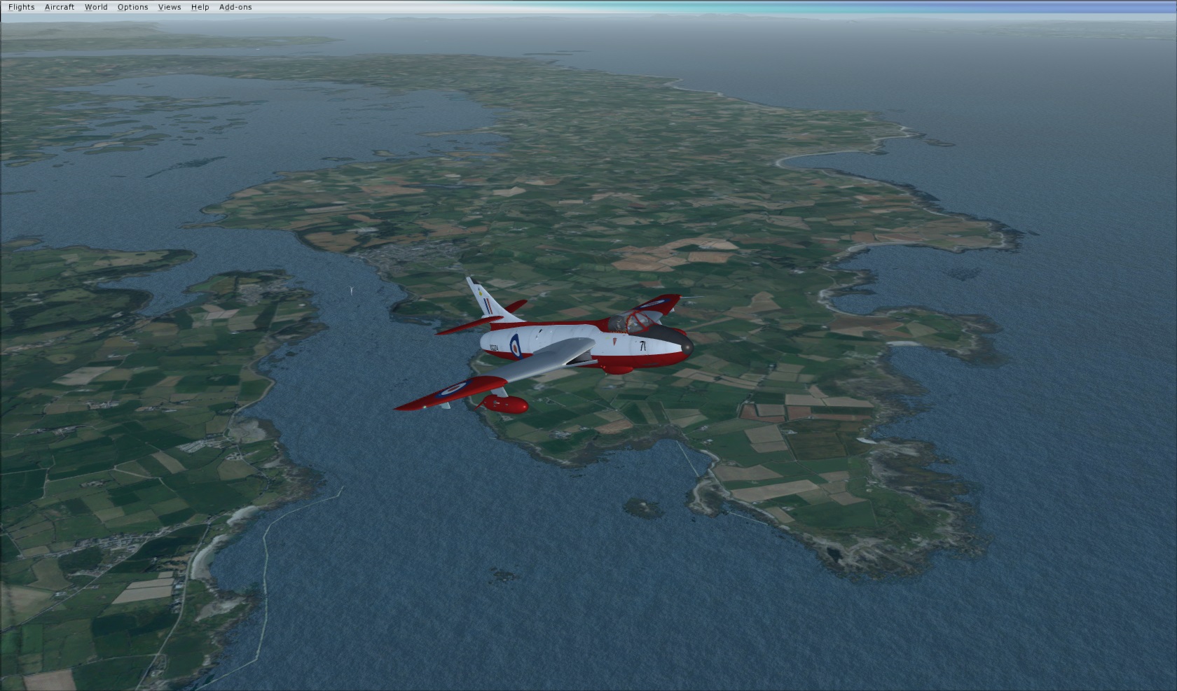
Can you guess where the airfields is below? I think I might knock this up for FS while I'm here...
If the second pic is a clue, then it's either Bishopscourt or Ballyhalbert. I did think it might be Langford Lodge, but your rendering would be a couple of hundred yards too far inland
I added a few more VFR tiles in the greater Belfast area, being careful not to overlap the Docks / Airport, but it seems as though the water masks have gone (even though they are definitely there in the BGL's) they aren't displaying, as a result I'm seeing the full scenery tile, i.e. without the water mask. Have you any idea what could cause this?
I'm guessing I have an overlap somewhere, but if I do, its only slight. Is it something to do with the QMID boundaries?