After a couple of suggestions which ignored what I had already told them, the Admin locked the topic with a comment that they are not running a scenery tuition course.
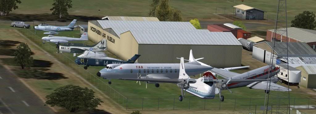
Eventually, I received a suggestion from the OzX forum about elevation. To cut a long story short, I raised the models 1 metre AGL, and they now are visible!
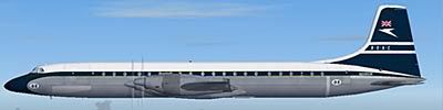
Now I need to ask permission to use static versions of models created by the good fellows at CBFS and other places. Some repainting will be needed to suit Moorabbin.
Here's what it looks like so far. I need to tweak the nth decimal places of latitude and longitude to nudge them into place, then squeeze some more into the slots (it's quite a close display)
So Dave, I can recommend George's suggestion of SAMM2 etc, though apparently EZ lets you nudge things around while looking at them, so would be quicker.
Itruly appreciate the CBFS help in this project.